
Upstream of the Paw Paw Tunnel, the C&O Canal towpath has a new surface all the way to Cumberland. Downstream from Big Pool to Licking Creek is finished too. Between those finished sections sits the stretch across the Potomac from Great Cacapon, Hancock at mile 123 to the Paw Paw Tunnel at mile 155. As of late September 2026, the National Park Service still lists that stretch as the resurfacing project in progress.
Most of this fall's trail rules on our side of the river trace back to that one job. That includes who can use the trail, where you have to leave it, and how long the work has taken.
The park has been resurfacing the full 184.5 miles in numbered phases. The phases closest to Great Cacapon tell the story:
When the work reached Hancock in January, Geoff Fox reported in the Hancock News that a subcontractor had started a 3.8-mile stretch near the Hancock bridge, with gravel and stone dust staged by Little Tonoloway Park. The article expected the work to continue through early summer. Early summer has passed. The park's conditions page, updated September 29, 2026, still describes "recent and ongoing towpath resurfacing" through mile 155. None of the sources reviewed for this post gives a revised finish date, so any date you hear is a guess for now.
For walkers and cyclists, very little changes. The park says the towpath stays open to both during resurfacing, and you may wait briefly while crews are actively working. The January report used the same words, "short delays."
Horses are a different case. An NPS alert posted May 27, 2026 bars horses between Little Tonoloway at mile 124.5 and Paw Paw at mile 155. The ban won't end the day the crews leave. The park reopens a resurfaced section to horses 30 days after the work there is done, so the new material can settle before it carries heavy weight. A late finish pushes riders' return back by the same amount, and then another month.
The new surface is gravel, not pavement. The park lays 2 inches of compacted CR-6 crush-and-run gravel for drainage, then tops it with 2 inches of compacted AASHTO-10 stone dust for a smooth finish. Crews grade the edges so water runs off, then seed and straw any ground they disturbed. In the January coverage, the towpath was "not being paved." On finished sections like the one upstream of the tunnel, that means a level, grass-free tread in place of the old center strip, roots and potholes the park's original assessment found.
The conditions page from September 29, 2026 gives this status for our stretch:
| Milepost | Spot | Status as of Sept. 29, 2026 |
|---|---|---|
| 124.5 | Little Tonoloway | Boat ramp open |
| 124.5 to 155 | Towpath | Closed to horses during resurfacing |
| 133.6 | Cacapon Junction hiker-biker site | Water on, non-potable |
| 134.3 | Polly Pond | Creek bridge closed, signed detour |
| 140.9 | Fifteenmile Creek | Campground, parking lot and boat ramp open |
| 156.1 | Paw Paw area | Tunnel, Tunnel Hill Trail, parking lot and campground open |
The Cacapon River runs north through Morgan County and empties into the Potomac near Great Cacapon, according to Friends of the Cacapon River. Across the water at mile 133.6, the C&O Canal Trust's page for Cacapon Junction hiker-biker campsite tells the river's canal-era story. The B&O Railroad bridge is visible from camp, and the Trust calls it one of the most scenic sites on the canal. In the canal era, flatboats and rafts carried iron, flour and lumber down the Cacapon from Bloomery Gap. Canal planners once thought about building a dam at the river's mouth.
Less than a mile upstream, the Polly Pond detour changes a familiar walk or ride. With the creek bridge closed, the signed route leaves the towpath at Lock 56, mile 136.2, by the causeway across the canal. It follows the Western Maryland Rail Trail for about 2 miles and rejoins at the bridge over Lock 55, mile 134.1. The paved rail trail runs right beside the towpath there, so the detour stays close to the river. Some loops use both trails anyway. The Canal Trust describes a bow-tie ride of more than 40 miles that combines the towpath and the rail trail out to Little Orleans.
The resurfacing has no finish date, but the water shutoff does. The park says well water is generally available from around April 15 to around November 15. In mid-November, faucets at every camping area are turned off so the pipes don't freeze and crack. The campsites stay open, but you bring your own water until spring.
What comes out of the faucet depends on the site. Since spring 2023, hiker-biker wells have been signed non-potable. That covers White Rock, Leopards Mill, Cacapon Junction, Indigo Neck, Devils Alley, Stickpile Hill and Sorrel Ridge, all listed with water on as of late September. Filter, treat or boil that water before using it. The paid campgrounds at Fifteenmile Creek and Paw Paw have potable well water treated with iodine. The park advises skipping it if you have an iodine allergy or take medication for an overactive thyroid.
That leaves about six weeks from today. If you like a late-fall walk to Cacapon Junction or a ride toward the tunnel, a water bottle filled at Fifteenmile Creek covers you until mid-November. After that, carry everything you need from home.
Great Cacapon has no bridge to the towpath, so every trip starts with a crossing. Hancock is about 11 driving miles away by Travelmath's estimate. There, U.S. 522 crosses the Potomac on bridges that pass over the towpath, the regional trails and the CSX tracks. In June, the Morgan Messenger reported that Maryland is asking for $1.2 million in federal funds to study rehabilitating or replacing those roughly 90-year-old bridges. Results won't be known until at least 2029. For the foreseeable future, the Hancock crossing will stay as it is.
The towpath right around Hancock also has new funding. On September 8, 2026, the Maryland Department of Transportation announced grants that include rehabilitating 8.34 miles of towpath in Washington County, from mile 116 near Big Pool to mile 125 in Hancock. An MDOT spokesman described that money as covering the final sections of towpath not yet rehabilitated in earlier phases. The reporting doesn't explain how those miles relate to the NPS phase now under way west of Hancock, so check NPS updates before assuming either way.
The other crossing is at the far end of the work zone. Visitors reach the Paw Paw Tunnel by crossing the MD 51 bridge at Paw Paw. WV 9 becomes MD 51 at that river crossing.
The tunnel end has no closures this fall. The Paw Paw Tunnel, Tunnel Hill Trail, parking lot and campground are all open as of September 29. The park asks visitors to bring a flashlight and walk their bikes through the 3,118-foot tunnel. From the campground parking, the tunnel is a half-mile walk. The C&O Canal Trust's May 2026 Paw Paw itinerary also mentions the small day-and-overnight parking area about a mile north of town on Oldtown Road.
The sources disagree on the length of the Tunnel Hill Trail. NPS describes the bypass over the mountain as a strenuous 2 miles. The Canal Trust calls it a 3.5-mile loop over Sorrel Ridge with long views across the Potomac valley. Either way, it's a climb, so leave yourself time.
The Trust's itinerary names Big & Tiny's Tavern for wings, burgers, pizza and subs, and the Paw Paw Country Store for deli items and supplies. Greenridge Canoe Outfitter is listed as open for camping and outdoor gear. Paddlers can put in at the Paw Paw canoe/kayak ramp at the hiker-biker campsite or at the boat ramp in Paw Paw's Riverfront Park. Both lead into the Paw Paw Bends. The Trust notes that food options can be limited on weekdays and early in the day. On the Hancock end, C&O Bicycle at 9 S. Pennsylvania Ave. offers rentals and repairs.
This stretch will get a finish date eventually. Until it does, check the NPS current-conditions page before you load the bikes or the horse trailer. It's the one source that has kept up with how this job has actually gone.
At Potomac Property Group, we follow trail and river conditions on both sides of the Potomac because our owners and guests ask about them every season. If you'd like help putting together a towpath guide for your cabin's guest book, or you have questions about owning near the river, please contact us. We're always glad to talk.
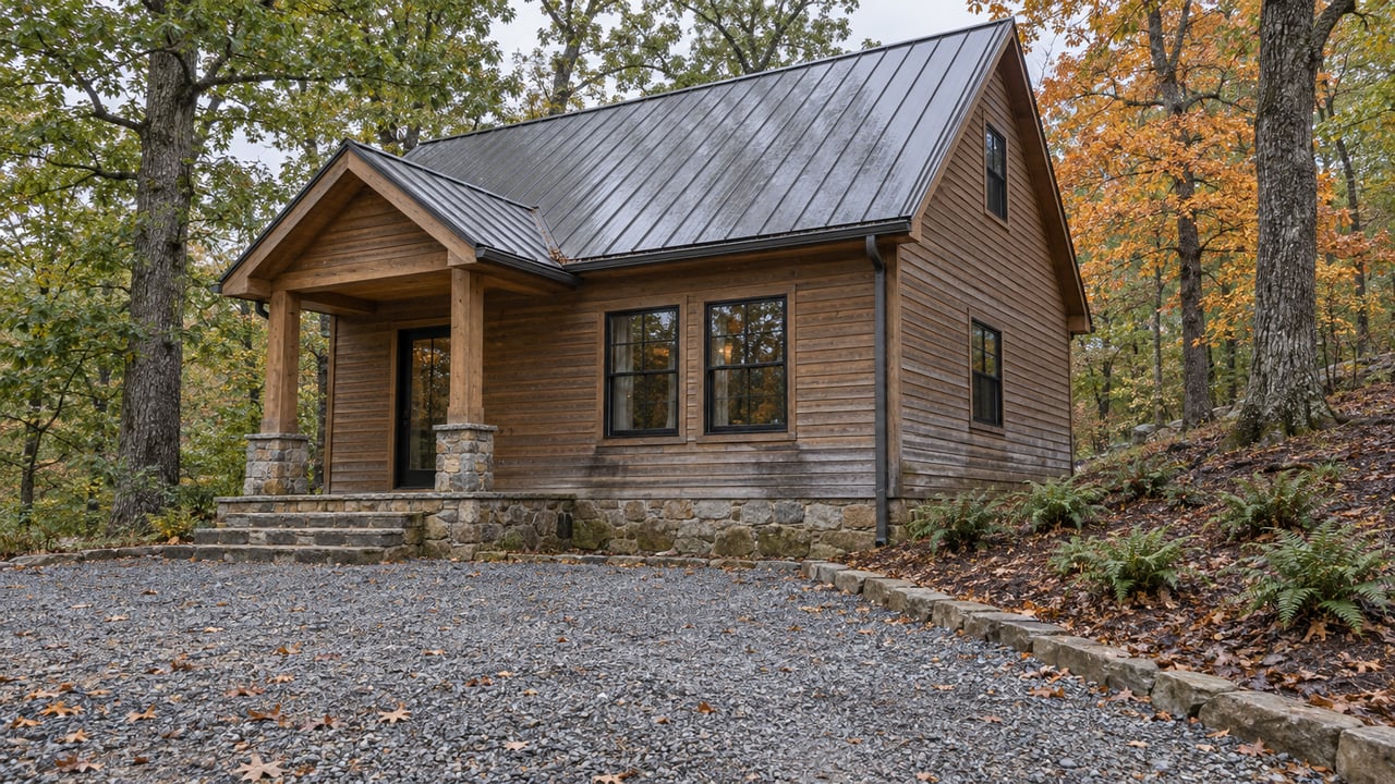
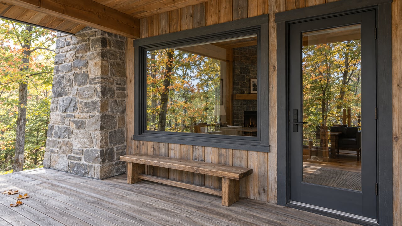
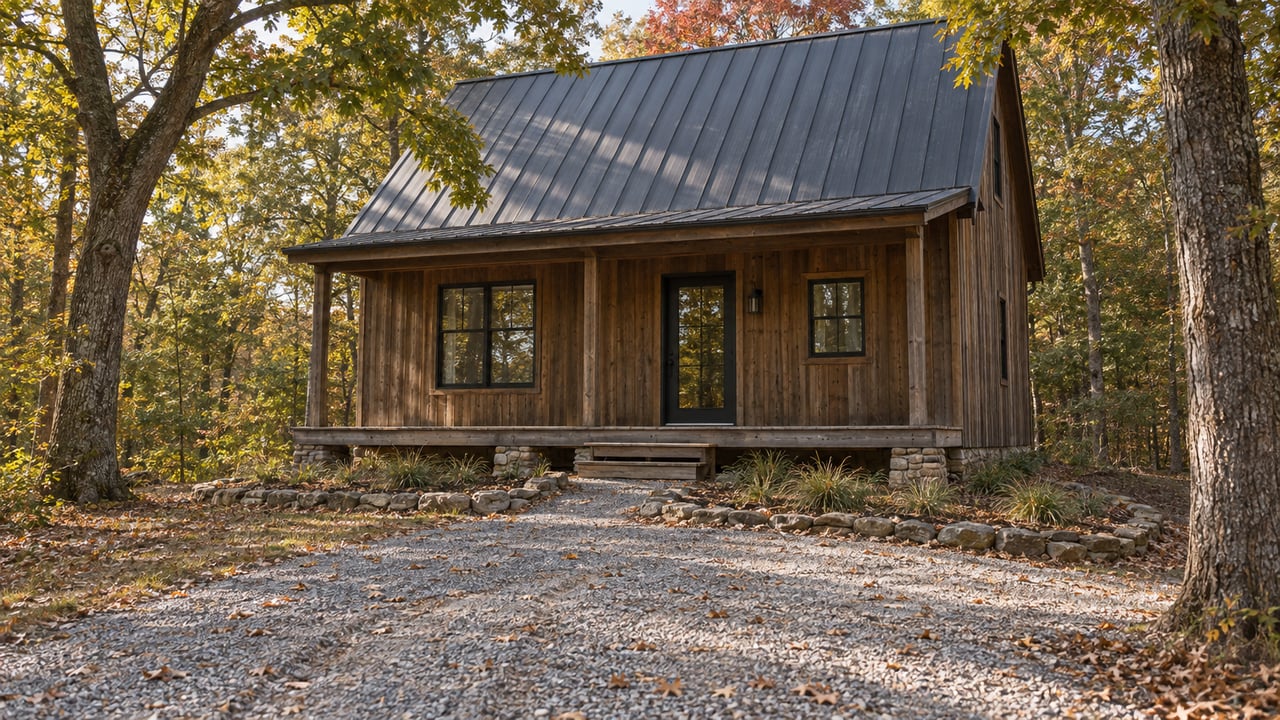
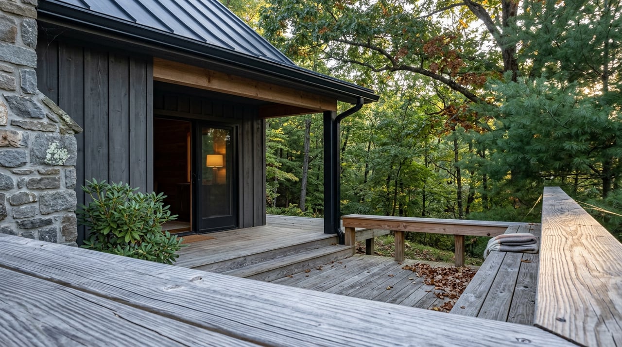
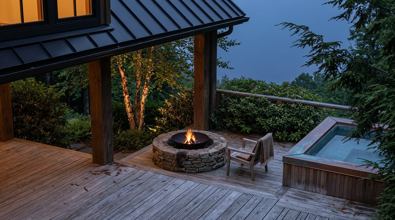


Looking for the perfect mountain escape in West Virginia? At Potomac Property Group, we offer privately owned vacation rentals. Whether you're planning a romantic retreat, a family adventure, or a friends’ getaway, our homes provide the comfort, privacy, and breathtaking views you need to relax and recharge.

Holly Schetrompf, Broker
Address
892 S Washington St
Berkeley Springs, WV 25411
Office Hours
Mon to Fri: 08:00 AM – 04:00 PM
Sat to Sun: By Appointment